What is up with all this fog in Nanaimo?
Lewis said a big factor in the fog sticking around longer is due to climate change, causing a lot of these pressure systems to stall and linger for a prolonged period of time. (Lauryn Mackenzie/CHLY 101.7fm)
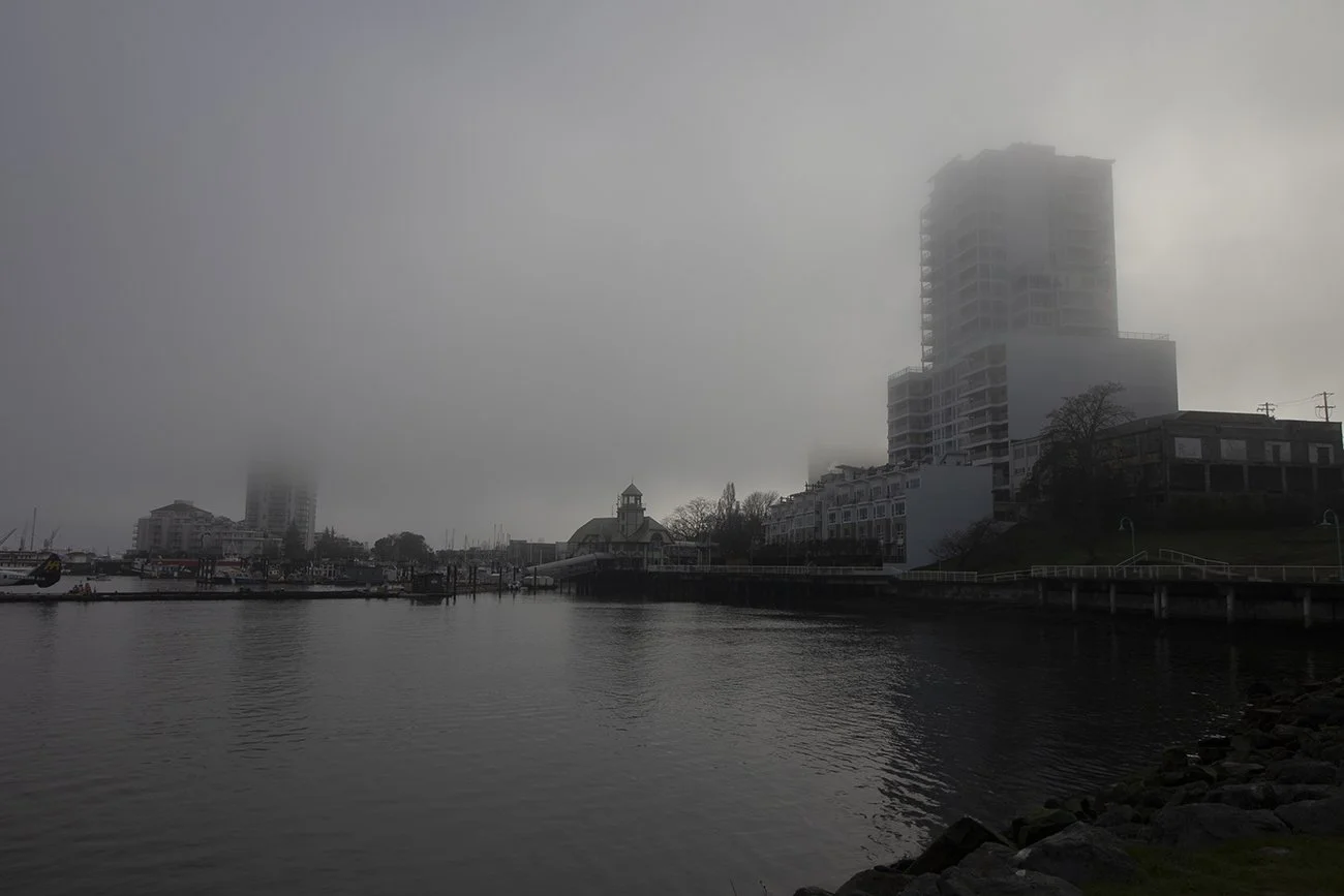
Fog horns sound throughout Nanaimo as thick, cold fog has made a prolonged appearance on the coast.
For about a week, while the sun works to shine through, fog has blanketed over central Vancouver Island, leading to reduced visibility alongside reduced temperatures.
“The reason why we have all this fog is that the air, because it's dropping in temperature at nighttime, it simply can't hold all that moisture that's in the air, and so we can develop all this fog,” Jeff Lewis said. “That kind of fog is called radiation fog.”
Lewis is a professor of geography at Vancouver Island University.
He explained to CHLY that this fog formed after the region saw heavy rain due to an atmospheric river.
“That atmospheric river essentially moved north up to Alaska, and it was pushed out of the way by a high-pressure system. A high-pressure system is an area of air that is basically descending from high up in the atmosphere, aloft, and it warms up the air up there,” he said. “It doesn't mean that it's really warm to the surface, but it means that all the clouds dissipate. So when we have this sort of big high-pressure system sitting over top of us, we have a relatively stable air mass and no clouds.”
Lewis said this type of fog is normal for the fall and winter in this area.
“These high-pressure systems that sit over top of us are not unusual. They can often sit over us for four or five days or a week,” he said. “That's not unusual. If this stays for much longer than that, then it starts to become more unusual.”
He said a big factor in the fog sticking around longer is due to climate change, causing a lot of these pressure systems to stall and linger for a prolonged period of time.
“That's how we're starting to break more records, is because the normal system–the system sort of lasts longer and that can lead to, in the summertime, extreme heat for a long time and drought, and in the wintertime, we've got beautiful blue sky conditions, which is great for for many people, but not for our ski hills,” he said.
Lewis said fog will be more prominent in areas near sources of moisture like the ocean and grassy fields.
“Anyone commuting into Nanaimo, you tend to pass those sort of low-lying grassy areas, better sources of moisture. If you live at a higher elevation, you're not seeing any of this fog. It's just blue sky conditions, you look down over the rest of the valley, and they'll have fog,” he said. “So if you were up at Mount Washington often, you will have just a beautiful bluebird day, and you can look out, and there's this fog over the rest of the low-lying areas.”
Lewis said with the fog still lingering, people should be on the lookout for black ice, especially in the morning, and be cautious while driving with reduced visibility.
Reduced visibility is also an issue that pedestrians and cyclists should keep in mind.
As of 4:59 a.m on Thursday, January 22, Environment Canada has reissued a yellow weather advisory for the fog through now until early Friday morning. The advisory has been issued for central and south Vancouver Island communities, Port Alberni and the Sunshine Coast.
Slippery and icy conditions can be expected, with visibility likely to be suddenly reduced at times. Environment Canada also recommends that drivers turn on their lights, slow down and maintain a safe following distance.
Funding Note: This story was produced with funding support from the Local Journalism Initiative, administered by the Community Radio Fund of Canada.